GSoC/2016/StatusReports/AkshatTandon: Difference between revisions
Appearance
| (7 intermediate revisions by the same user not shown) | |||
| Line 16: | Line 16: | ||
== Tasks completed == | == Tasks completed == | ||
'''Converting Natural Earth SHP to OSM format''' [http://droftware.github.io/how-shp-to-osm/] | |||
'''Adding styling for various geographical features''' [http://droftware.github.io/how-styles/] | |||
'''Concatenating the Natural Earth geographical features into a single OSM file''' [http://droftware.github.io/concat-features/] | |||
'''Automating tile generation for lower levels''' [http://droftware.github.io/tiles-generator/] | |||
'''Removing redundant nodes from OSM files''' [http://droftware.github.io/removing-redundant-nodes/] | |||
'''Concatenating OSM way chunks''' [http://droftware.github.io/way-concatenation/] | |||
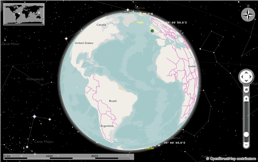
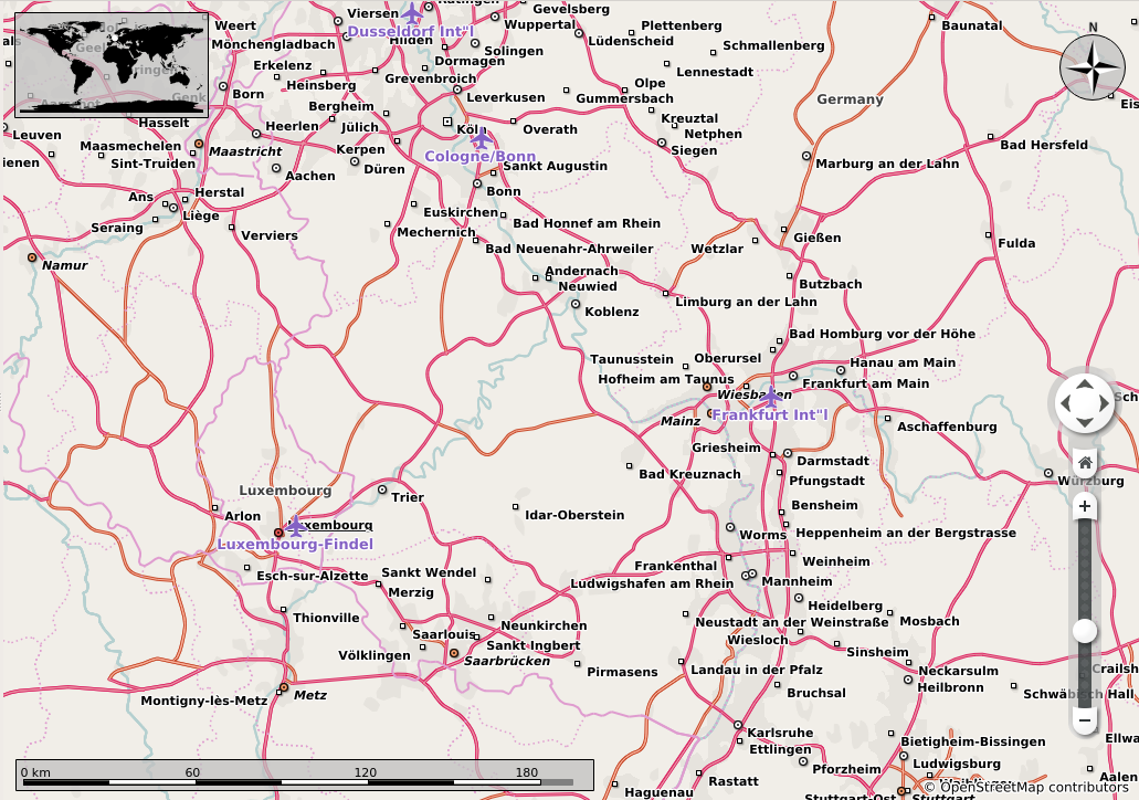
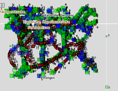
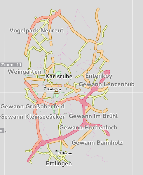
== Screenshots related to above tasks == | |||
http://droftware.github.io/assets/bathymetry1.png | http://droftware.github.io/assets/bathymetry1.png | ||
http://droftware.github.io/assets/lev71.png | |||
http://droftware.github.io/assets/kpiece2.png | http://droftware.github.io/assets/kpiece2.png | ||
http://droftware.github.io/assets/ak1.png | http://droftware.github.io/assets/ak1.png | ||
Latest revision as of 23:07, 22 August 2016
About Me
Name: Akshat Tandon
Freenode IRC: tandon
Blog: droftware.github.io[1]
Project

I am supposed to add support for lower and medium zoom levels to the OSM Vector map theme of Marble. Before the project started, the map theme supported high zoom levels and the expectation is that by the end of the project, Vector map theme will fully support lower and medium zoom levels. For further details you can read my introductory blog post[2]
Tasks completed
Converting Natural Earth SHP to OSM format [3]
Adding styling for various geographical features [4]
Concatenating the Natural Earth geographical features into a single OSM file [5]
Automating tile generation for lower levels [6]
Removing redundant nodes from OSM files [7]
Concatenating OSM way chunks [8]


Tasks in progress
- Module to merge nearby buildings [9]
Future tasks
- Module to merge lanes
- Consolidating the vector tile creating tool chain
Revision Links
- Line strings such as roads, rivers are not getting rendered for map files which are in SHP format [10]
- Experimental GeoDataFeatures and their corresponding OSM tags [11]
- Script for automating lower level tile generation [12]
- Add styling for salt lakes/ playas [13]
- Add styling for antarctic ice shelves[14]
- Add marine indicators/boundaries [15]
- Add International Date Line [16]
- Fix for horizontally distorted boundaries between Prime Meridian in Britain and Netherlands.[17]
- Added node reducing module to osm-simplify [18]
- Added way concatenating module to osm-simplify [19]
- Add vector rendering support for bathymetry [20]
- Fix KeyError: 'depth' in shp2osm script [21]
- Fix order of node, way and relation blocks generated by shp2osm script [22]
- Added module to merge buildings[23]
